|
©The Archaeological Settlements of Turkey - TAY Project
|
|
|
|
|
|
Egriköy |
|
|
For site maps and drawings please click on the picture...  |
For photographs please click on the photo... 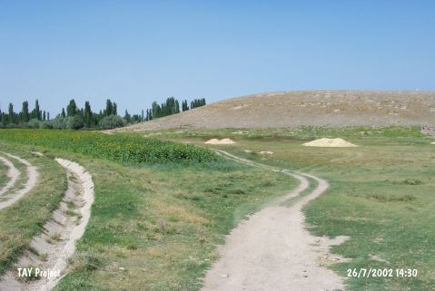 |
|
Type:
|
Mound |
|
Altitude:
|
1125 m |
|
Region:
|
Central Anatolia |
|
Province:
|
Kayseri |
|
District:
|
Yesilhisar |
|
Village:
|
Yesilova |
|
Investigation Method:
|
Survey |
|
Period:
|
|
|
|
|
 |
|
| It lies next to Egriköy, southwest of Kayseri. A hieroglyphic Late Hittite inscription was found on the mound. Based on the sherds collected from the surface, it appears that it had been inhabited during the Early Bronze Age, Alisar III, late phase of the Assyrian Trade Colonies Period and the Iron Age. The handle of the grey-slipped cup is decorated with brown paint. The creme-slip of the jar with inverted rim is painted with brown simple lines. This site is revisited in 2009 during a survey carried out by Kulakoğlu and team. It is 21 m in height and in 250 m in diameter. The Northern and Eastern slopes are very steep while Southern slope is flatter. Natural rocks can be seen on the three corners of the mound and on the hill. |
| Location: |
| Geography and Environment: |
| History: |
| Research and Excavation: |
| Stratigraphy: |
| Small Finds: |
| Remains: |
| Interpretation and Dating: |