|
©The Archaeological Settlements of Turkey - TAY Project
|
|
|
|
|
|
Güney Höyük |
|
|
For site maps and drawings please click on the picture...  |
For photographs please click on the photo... 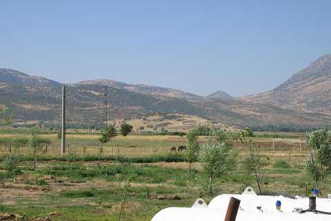 |
|
Type:
|
Mound |
|
Altitude:
|
1000 m |
|
Region:
|
Mediterranean |
|
Province:
|
Denizli |
|
District:
|
Acipayam |
|
Village:
|
Güneydüzü |
|
Investigation Method:
|
Survey |
|
Period:
|
EBA II |
|
|
|
 |
|
| It lies southwest of Güneydüzü Village; inside a bay extending to the east of the Acipayam Plain; southeast of Denizli Province. The settlement is locally known as Höyük Tepesi and is in the joint territory of Güneydüzü; Kurtlar and Karköy villages. It is situated almost in the center of this bay. It was discovered by J. Mellaart. EBA II and III pottery was collected from the surface. |
| Location: |
| Geography and Environment: |
| History: |
| Research and Excavation: |
| Stratigraphy: |
| Small Finds: |
| Remains: |
| Interpretation and Dating: |