|
©The Archaeological Settlements of Turkey - TAY Project
|
|
|
|
|
|
Gültepe |
|
|
For site maps and drawings please click on the picture...  |
For photographs please click on the photo... 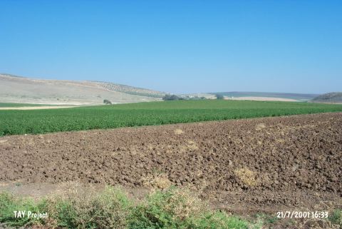 |
|
Type:
|
Mound |
|
Altitude:
|
150 m |
|
Region:
|
Mediterranean |
|
Province:
|
Hatay |
|
District:
|
Kumlu |
|
Village:
|
Hatayhamami |
|
Investigation Method:
|
Survey |
|
Period:
|
|
|
|
|
 |
|
| It lies north-northwest of Hatayhamamı Village; northeast of Kumlu District of Hatay Province. It is surrounded by fertile lands and close to the Hamam fresh water springs. During the surface collection of R.J. Braidwood in 1936 potsherds dated to EBA were also found. |
| Location: This site lies north-northwest of Hatayhamamı Village; northeast of Kumlu District of Hatay Province. |
| Geography and Environment: This small mound lies west of the Kürt Mountains. The region is suitable for agriculture. Both hot and cold-water springs can be found in the vicinity. |
| History: |
| Research and Excavation: |
| Stratigraphy: |
| Small Finds: |
| Remains: |
| Interpretation and Dating: |