|
©The Archaeological Settlements of Turkey - TAY Project
|
|
|
|
|
|
Gültepe |
|
|
For site maps and drawings please click on the picture...  |
For photographs please click on the photo... 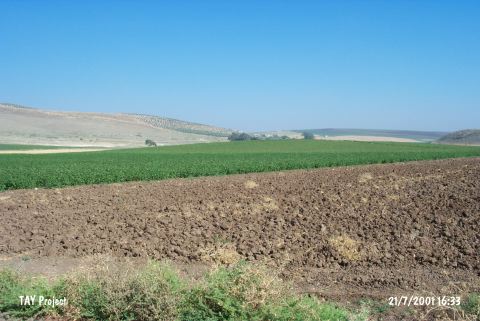 |
|
Type:
|
Mound |
|
Altitude:
|
150 m |
|
Region:
|
Mediterranean |
|
Province:
|
Hatay |
|
District:
|
Kumlu |
|
Village:
|
Hatayhamami |
|
Investigation Method:
|
Survey |
|
Period:
|
Early |
|
|
|
 |
|
| The mound; discovered by R.J. Braidwood in 1936; lies north-northwest of Hatayhamamı Village; northeast of Kumlu District of Hatay Province. It is surrounded by fertile lands and close to the Hamam fresh water springs. During the surface collection of Braidwood; Chalcolithic Age sherds of Halaf ware and Neolithic Age finds were found (Harmankaya et al. 1997:Gültepe). The site is in the same valley with the Halaf Period settlements of Tell Turundah; Tell ain Darah. The mound is dated to the 7th phase in ASPRO. |
| Location: This site lies north-northwest of Hatayhamamı Village; northeast of Kumlu District of Hatay Province. |
| Geography and Environment: This small mound lies west of the Kürt Mountains. The region is suitable for agriculture. Both hot and cold-water springs can be found in the vicinity. |
| History: |
| Research and Excavation: |
| Stratigraphy: |
| Small Finds: |
| Remains: |
| Interpretation and Dating: |