|
©The Archaeological Settlements of Turkey - TAY Project
|
|
|
|
|
|
Güllüce |
|
|
For site maps and drawings please click on the picture... 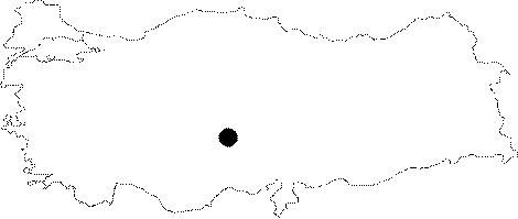 |
For photographs please click on the photo...  |
|
Type:
|
Artifact Scatter |
|
Altitude:
|
1490 m |
|
Region:
|
Central Anatolia |
|
Province:
|
Nigde |
|
District:
|
Merkez |
|
Village:
|
Güllüce |
|
Investigation Method:
|
Survey |
|
Period:
|
Aceramic |
|
|
|
 |
|
| This site lies 9 km north of the city of Nigde; south-southwest of the village of Güllüce. The site lies east of the Melendiz Mountains; which are northwest of the city center and in the western part of the Nigde Plain. The site was coincidentally discovered by Dr. Solomon-Calvi of the University of Ankara; Institute of Geology in 1938 during a geological survey of the area. It has not been determined whether the site was a temporary campsite or a permanent settlement. Obsidian microliths including a scraper and a point were found. Bittel assigns these finds to the Neolithic. |
| Location: |
| Geography and Environment: |
| History: |
| Research and Excavation: |
| Stratigraphy: |
| Small Finds: |
| Remains: |
| Interpretation and Dating: |