|
©The Archaeological Settlements of Turkey - TAY Project
|
|
|
|
|
|
Güleyani Tepesi |
|
|
For site maps and drawings please click on the picture...  |
For photographs please click on the photo... 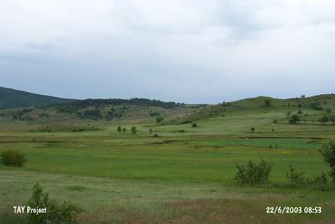 |
|
Type:
|
Mound |
|
Altitude:
|
1500 m |
|
Region:
|
Black Sea |
|
Province:
|
Ordu |
|
District:
|
Mesudiye |
|
Village:
|
Üçyol |
|
Investigation Method:
|
Survey |
|
Period:
|
Early |
|
|
|
 |
|
| The 100x70 m mound; 20 m high above the plain level; lies southwest of the city of Ordu; west-northwest of Mesudiye; 2.5 km west of Üçyol; village. Üçyol-Yayla motorway passes from 300 m southeast. It is on the hill of Güleyani; located in Sahanli Mevkii. The site was discovered by M. Özsait in 1990 and sherds; dating to the Early Chalcolithic Age; EBA and Iron Age were collected from the surface. Chalcolithic Age ceramics have high technical quality. According to Özsait; Güleyani is an important site for the stratigraphy of Karadeniz. |
| Location: |
| Geography and Environment: |
| History: |
| Research and Excavation: |
| Stratigraphy: |
| Small Finds: |
| Remains: |
| Interpretation and Dating: |