|
©The Archaeological Settlements of Turkey - TAY Project
|
|
|
|
|
|
Gri Memo Mevkii |
|
|
For site maps and drawings please click on the picture... 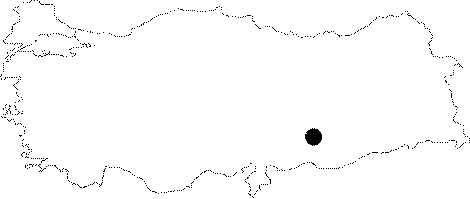 |
For photographs please click on the photo...  |
|
Type:
|
Habitation Site / Workshop |
|
Altitude:
|
m |
|
Region:
|
Southeastern Anatolia |
|
Province:
|
Adiyaman |
|
District:
|
Samsat |
|
Village:
|
Balcilar |
|
Investigation Method:
|
Survey |
|
Period:
|
AP OP |
|
|
|
 |
|
| Location: This site was south-southeast of Adiyaman; 5 km west-southwest of Samsat and about 2.700 m west of the village of Balcilar (Sinan Kantara). Before it was submerged under the Atatürk Dam Lake in 1992; the site lay on a hillock known as Gri Memo Tepesi; immediately north of the Kantara-Berferat highway and west of the Zeril Stream. Its code is T 50 / 19. |
| Geography and Environment: The Gri Memo Tepesi; which was conical in shape; had many gullies carved by streams on its flanks. Chipped stone tools and fragments of tools were found especially on the eastern flank. Although the density of tools was low; it is assumed that the hill was used as a temporary habitation area or campsite. |
| History: |
| Research and Excavation: The site was discovered in 1977 by a team under Mehmet Özdogan of the University of Istanbul; Faculty of Letters; Prehistory Section; who surveyed the Lower Euphrates Basin. It takes place in the registered archaeological sites list prepared by Ministry of Culture and Tourism. |
| Stratigraphy: |
| Small Finds: Handaxes were found both on the western and eastern flanks of Gri Memo. An Acheuléen type biface handaxe was found on the western face while the eastern face yielded a well-worn biface; side scrapers manufactured on flakes and other finds with retouched edges. Although the bifaces have both been assigned to the Lower Palaeolithic; Özdogan suggests that some of the other finds might be from the Middle Palaeolithic Period [Özdogan 1977:128]. |
| Remains: |
| Interpretation and Dating: |