|
©The Archaeological Settlements of Turkey - TAY Project
|
|
|
|
|
|
Götübüyük / Kötübüyük |
|
|
For site maps and drawings please click on the picture...  |
For photographs please click on the photo... 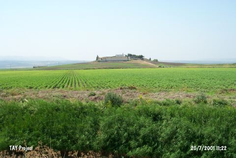 |
|
Type:
|
Mound |
|
Altitude:
|
150 m |
|
Region:
|
Mediterranean |
|
Province:
|
Hatay |
|
District:
|
Reyhanli |
|
Village:
|
Göktepe |
|
Investigation Method:
|
Survey |
|
Period:
|
|
|
|
|
 |
|
| It lies west of Göktepe Village; southwest of Reyhanli District of Hatay Province. It is close to the Syrian border at the southern point of Amuq Plain and north of it passes the Antakya-Reyhanli motorway. It is a middle sized shallow and broad mound. It was discovered by R.J. Braidwood and dated to EBA. It takes place in the registered archaeological sites list prepared by Ministry of Culture and Tourism. |
| Location: |
| Geography and Environment: |
| History: |
| Research and Excavation: |
| Stratigraphy: |
| Small Finds: |
| Remains: |
| Interpretation and Dating: |