|
©The Archaeological Settlements of Turkey - TAY Project
|
|
|
|
|
|
Aktas Harabe |
|
|
For site maps and drawings please click on the picture...  |
For photographs please click on the photo... 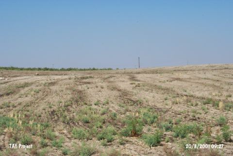 |
|
Type:
|
Flat Settlement |
|
Altitude:
|
450 m |
|
Region:
|
Southeastern Anatolia |
|
Province:
|
Gaziantep |
|
District:
|
Nizip |
|
Village:
|
Yukari Bayindir |
|
Investigation Method:
|
Survey |
|
Period:
|
Late |
|
|
|
 |
|
| The site lies east of the Gaziantep and of Nizip district; on the west bank of Euphrates; in Yukari Bayindir. Postsherds are collected by the Tigris-Euphrates Archaeological Reconnaissance Survey of G. Algaze in an area of 100x60 m. Bevelled rim bowls; sand-tempered pithos rim sherds; rim slipped bowl; sand-tempered plates;belong to the Uruk Period were found on the surface. |
| Location: |
| Geography and Environment: |
| History: |
| Research and Excavation: |
| Stratigraphy: |
| Small Finds: |
| Remains: |
| Interpretation and Dating: |