|
©The Archaeological Settlements of Turkey - TAY Project
|
|
|
|
|
|
Gölköy Enstitüsü |
|
|
For site maps and drawings please click on the picture... 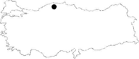 |
For photographs please click on the photo...  |
|
Type:
|
Single Findspot |
|
Altitude:
|
m |
|
Region:
|
Black Sea |
|
Province:
|
Kastamonu |
|
District:
|
Merkez |
|
Village:
|
Gölköy |
|
Investigation Method:
|
Survey |
|
Period:
|
OP |
|
|
|
 |
|
| Location: This site is approximately 6-7 km north-northwest of the city of Kastamonu; close to the Gölköy Farming Institute of the Ministry of Agriculture. The tools were found in the plantation near the guard's hut southeast of the Institute. |
| Geography and Environment: The site has been destroyed by the recent buildings which have been constructed to expand the Institute. |
| History: |
| Research and Excavation: During his survey in 1942; Kemal Alot found five flintstone tools around the Gölköy Farming Institute. The flint tool shaped like a spearhead is probably the most interesting of the finds. Detailed information on the research Kansu conducted in the area is lacking. |
| Stratigraphy: |
| Small Finds: Among the five tools Alot found is a roughly-made Levallois spearhead point knapped from a yellowish flint [Senyürek 1943:fig.2]. The face of the tool is worked. The implement was probably originally used as a point and later as a side scraper. Due to natural circumstances the edges of the tool have been abraded and are no longer sharp. The dimensions are 9.1x5.1x1.6 cm. Information on other tools found during Kemal Alot's survey has not been provided. Kansu also reports that he found some Levalloiso-Moustérien tools in the Gölköy vicinity [Kansu 1947:229; fig. 2; no. 3]. Bostanci also conducted some research in this area. Although the article he published on the survey makes no mention of finds from Gölköy and the Gökirmak Valley the caption of figure IV; a photo of some firestone tools; states that the artifacts are from Gölköy and Daday [Bostanci 1952:138]. It is skeptical whether Bostanci found tools in this area. |
| Remains: |
| Interpretation and Dating: |