|
©The Archaeological Settlements of Turkey - TAY Project
|
|
|
|
|
|
Gökhöyük (Kirsehir-2) |
|
|
For site maps and drawings please click on the picture...  |
For photographs please click on the photo... 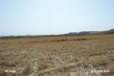 |
|
Type:
|
Mound |
|
Altitude:
|
705 m |
|
Region:
|
Central Anatolia |
|
Province:
|
Kirsehir |
|
District:
|
Çiçekdagi |
|
Village:
|
Konurkale |
|
Investigation Method:
|
Survey |
|
Period:
|
|
|
|
|
 |
|
| It lies 150 m south of Delice River; 30 km northwest of Çiçekdagi District; east of Konurkale Village of Kirsehir Province. West of it lies the site of Gökhöyük (Kirsehir-1). It is flat. It measures 2 m in height and 73 m in diameter. Monocolored; straw-tempered; nail impressed and grooved sherds and perforated handles dating from the EBA and a single sherd dating from the second millennium BC were recovered from the surface. Vast majority of them is painted in black or red. It takes place in the registered archaeological sites list prepared by Ministry of Culture and Tourism. |
| Location: |
| Geography and Environment: |
| History: |
| Research and Excavation: |
| Stratigraphy: |
| Small Finds: |
| Remains: |
| Interpretation and Dating: |