|
©The Archaeological Settlements of Turkey - TAY Project
|
|
|
|
|
|
Gökçeyazi Üyücek |
|
|
For site maps and drawings please click on the picture...  |
For photographs please click on the photo... 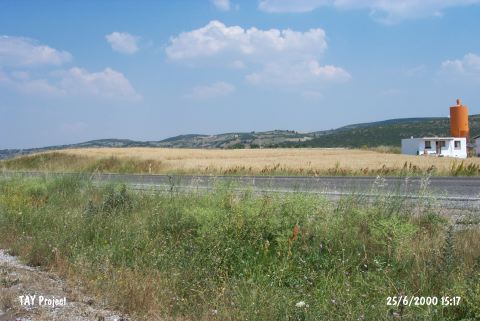 |
|
Type:
|
Mound |
|
Altitude:
|
215 m |
|
Region:
|
Marmara |
|
Province:
|
Balikesir |
|
District:
|
Merkez |
|
Village:
|
Gökçeyazi |
|
Investigation Method:
|
Survey |
|
Period:
|
|
|
|
|
 |
|
| It lies 800 m east of Gökçeyazi (Ergama) Village of Merkez District; east of Balikesir Province. It was discovered in 1987 during the Balikesir Survey conducted by M. Özdogan (Coded under K7/1). EBA; LBA and Antique Age pottery was collected from the surface. The mound has been destroyed partly due to the highway and partly terracing. |
| Location: |
| Geography and Environment: |
| History: |
| Research and Excavation: |
| Stratigraphy: |
| Small Finds: |
| Remains: |
| Interpretation and Dating: |