|
©The Archaeological Settlements of Turkey - TAY Project
|
|
|
|
|
|
Gökçeli |
|
|
For site maps and drawings please click on the picture...  |
For photographs please click on the photo... 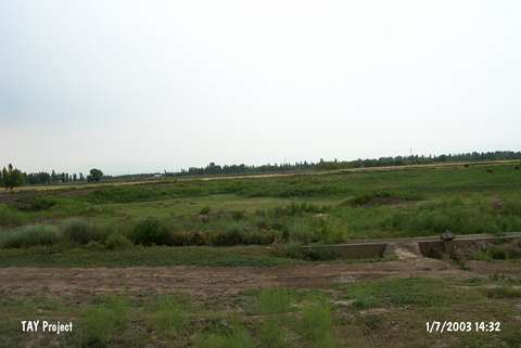 |
|
Type:
|
Mound |
|
Altitude:
|
930 m |
|
Region:
|
Eastern Anatolia |
|
Province:
|
Igdir |
|
District:
|
Karakoyunlu |
|
Village:
|
Gökçeli |
|
Investigation Method:
|
Survey |
|
Period:
|
EBA I EBA II EBA III |
|
|
|
 |
|
| It is situated 800 m south of Gökçeli /Gökçeali village; 15 km northeast of Igdir district; southeast of Kars province. Today; it is not possible to define the settlement's borders as a result of the destruction caused by agriculture and road construction. It was first introduced by K. Kökten. It was visited by C.A. Burney during the Karaköse-Igdir Regional Survey in 1957. It is located in the fertile Igdir Plain. Samples of the Early Transcaucasian ware dating from the EBA I-III were collected from the surface as reported by C.A. Burney. No decorated sherds were recovered during this collection. The site was reinvestigated in 2002 by C. Marro and A. Özfirat; during the Pre-Classical Survey in Eastern Turkey. Grit-tempered; black polished pottery with incised and/or grooved decoration were encountered. The pottery is reported to be similar to those collected from the site of Melekli. It is suggested that these finds attest the presence of EBA II and EBA III [Marro-Özfirat 2003:391]. |
| Location: |
| Geography and Environment: |
| History: |
| Research and Excavation: |
| Stratigraphy: |
| Small Finds: |
| Remains: |
| Interpretation and Dating: |