|
©The Archaeological Settlements of Turkey - TAY Project
|
|
|
|
|
|
Erbildi Mezari |
|
|
For site maps and drawings please click on the picture... 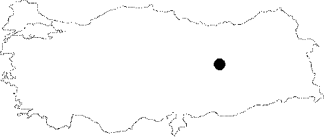 |
For photographs please click on the photo...  |
|
Type:
|
Cemetery |
|
Altitude:
|
m |
|
Region:
|
Eastern Anatolia |
|
Province:
|
Elazig |
|
District:
|
Harput |
|
Village:
|
Erbildi |
|
Investigation Method:
|
Survey |
|
Period:
|
Middle Iron Age |
|
|
|
 |
|
| It was carved onto the eastern façade of a rocky hill on which the front ridge of the Erbildi (Haciseli) Village rests in the Harput District of Elazig. There is a wide plane in front of the grave after reaching a rocky ground accessed through spiral steps from the north. The grave is protected by a door parapet located higher. There is a burial bed on the rear wall of the grave chamber. To the left is a basin. Its characteristics resemble the Urartian graves. With a 0.7 m high and 0.6 m wide entrance facing the northeast, the grave is descended by a step carved into the inner surface of the entrance. The grave chamber measures 2.4x1.6 m in dimensions, and 1.6 m in height. On the longer western façade lies a niche with a dimension of 1.5x0.7 m, and a height of 1.1 m. Although it is much smaller and simpler, the grave at Haciseli can be associated with the Urartian tomb monument at Mazgirt, particularly in terms of its large niche. |
| Location: |
| Geography and Environment: |
| History: |
| Research and Excavation: |
| Stratigraphy: |
| Small Finds: |
| Remains: |
| Interpretation and Dating: |