|
©The Archaeological Settlements of Turkey - TAY Project
|
|
|
|
|
|
Gög Kale |
|
|
For site maps and drawings please click on the picture...  |
For photographs please click on the photo... 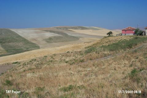 |
|
Type:
|
Upland Settlement |
|
Altitude:
|
660 m |
|
Region:
|
Central Anatolia |
|
Province:
|
Çorum |
|
District:
|
Sungurlu |
|
Village:
|
Yesilyurt |
|
Investigation Method:
|
Survey |
|
Period:
|
|
|
|
|
 |
|
| It stands on a hill located south of Yesilyurt Village; northwest of Sungurlu; southwest of Çorum Province. It is a small farming settlement. It measures 30x60 m in dimensions according to the distribution of the pottery. The pits opened by the treasure hunters are visible on the surface of the settlement. It overlooks the region. Pottery collected from those pits were identified as EBA production by T. Sipahi and T. Yildirim. They are handmade; washed in black and red. No painted ware of EBA III was recovered. |
| Location: |
| Geography and Environment: |
| History: |
| Research and Excavation: |
| Stratigraphy: |
| Small Finds: |
| Remains: |
| Interpretation and Dating: |