|
©The Archaeological Settlements of Turkey - TAY Project
|
|
|
|
|
|
Düzorman Kalesi |
|
|
For site maps and drawings please click on the picture... 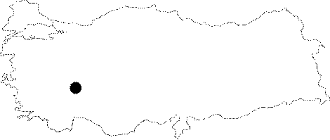 |
For photographs please click on the photo...  |
|
Type:
|
Fortress |
|
Altitude:
|
m |
|
Region:
|
Marmara |
|
Province:
|
Kirklareli |
|
District:
|
Merkez |
|
Village:
|
Düzorman |
|
Investigation Method:
|
Survey |
|
Period:
|
Late Iron Age |
|
|
|
 |
|
| It was discovered in 1995 during the survey on the "Fortresses of the Turkish Period" conducted in Thracia by I.H. Kurtulus [Kurtulus 1997:35, pictures 1-5]. The fortress rests on a low hill at Kale Mevkii, being reached by a secondary road diverting 3 km after the Düzorman Village. It was built around a huge rocky mass, arranged in accordance with the topography. It has an almond-shape in plan. The main walls are mostly extant, and three natural rock blocks, two on the east, and one on the north, lie between the walls. Out of the northern rocky mass there are remains in an elliptical shape with a depression in the middle, enclosed by roughly dressed stones. These remains has a lean mortar with a mixture of lime and grit. The walls of the fortress were erected with various size of stones piled on each other without mortar. The entrance is from the northwestern corner. On the outer section of the left side of the entrance and interior part of the southeastern wall a herringbone pattern is observed, which is unique to this fortress in the region. There are five burtresses, 70-75 cm at depth and 95-100 at width, juxtaposed to each other on the outer part of the western wall. The distance between them is 314-330 cm. The southern, northern and western sections of the fotress is inclined while the eastern section has a more stable fortification with natural rock masses, not easily accessible. Left from the Thracians, the fortress was dated to 5th-4th centuries based on similarity with fortresses in Bulgaria. |
| Location: |
| Geography and Environment: |
| History: |
| Research and Excavation: |
| Stratigraphy: |
| Small Finds: |
| Remains: |
| Interpretation and Dating: |