|
©The Archaeological Settlements of Turkey - TAY Project
|
|
|
|
|
|
Dogubeyazit Kaya Mezari |
|
|
For site maps and drawings please click on the picture... 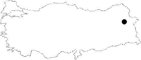 |
For photographs please click on the photo...  |
|
Type:
|
Rock-cut Tomb |
|
Altitude:
|
m |
|
Region:
|
Eastern Anatolia |
|
Province:
|
Agri |
|
District:
|
Dogubayazit |
|
Village:
|
|
|
Investigation Method:
|
Survey |
|
Period:
|
Middle Iron Age |
|
|
|
 |
|
| Located 5 km east of the Dogubeyazit District in Agri, it was carved about 8 m above the ground at the bottom of a steep rock lying to the southeast of the fortress. Not easy to access, the rock grave has two storeys, each with a chamber and good craftmanship. A deep entrance opened into the levelled rock allows access to the upper chamber. There are two sinks on the northwestern and southeastern walls of the chamber. The lower chamber is descended through the floor opening of the upper chamber. The lower chamber has a poor craftmanship, with an amorphous form. The most interesting aspect of the grave is the presence of reliefs arranged around the entrance. The lower chamber measures 0.82x0.6x1.6 m while the upper one is 2.8x4.38x1.8 m in dimensions. |
| Location: |
| Geography and Environment: |
| History: |
| Research and Excavation: |
| Stratigraphy: |
| Small Finds: |
| Remains: |
| Interpretation and Dating: |