|
©The Archaeological Settlements of Turkey - TAY Project
|
|
|
|
|
|
Dayipinari |
|
|
For site maps and drawings please click on the picture... 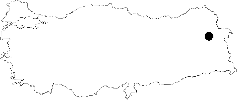 |
For photographs please click on the photo...  |
|
Type:
|
Rock-cut Tomb |
|
Altitude:
|
m |
|
Region:
|
Eastern Anatolia |
|
Province:
|
Agri |
|
District:
|
Tutak |
|
Village:
|
Dayipiniari |
|
Investigation Method:
|
Survey |
|
Period:
|
Middle Iron Age |
|
|
|
 |
|
| It rests on a single rock between the hills 1 km west of the Dayipinar Village, 53 km from the Tutak District in Agri. With a single chamber and qualified masonry, it is accessed through a plain rectangular gate opening over the rock. The rectangular gate on the north is surrounded by a channel-like socket all along four sides. The single chamber is entered through an entrance opening with a low threshold. The chamber measures 2.2x1.95x2.27 m in dimensions. The walls are connected to each other in an oval form. At present, it is filled with stone, earth and water to a great extent. |
| Location: |
| Geography and Environment: |
| History: |
| Research and Excavation: |
| Stratigraphy: |
| Small Finds: |
| Remains: |
| Interpretation and Dating: |