|
©The Archaeological Settlements of Turkey - TAY Project
|
|
|
|
|
|
Girnator |
|
|
For site maps and drawings please click on the picture...  |
For photographs please click on the photo... 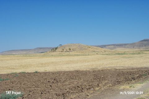 |
|
Type:
|
Mound |
|
Altitude:
|
700 m |
|
Region:
|
Southeastern Anatolia |
|
Province:
|
Batman |
|
District:
|
Besiri |
|
Village:
|
Binatli |
|
Investigation Method:
|
Survey |
|
Period:
|
|
|
|
|
 |
|
| The mound; measuring 15 m in height and 75 m in diameter; lies 9.2 km east of Batman; 3 km north of Binatli (Bileyder/Tilmis) village and Sirrika stream passes east of the site named Sirrika on the 1:100000 map. There is no fresh water spring around the mound. It was discovered during the Southeastern Anatolia Survey jointly conducted by the University of Istanbul and Chicago University in 1963. Debatable sherds belonging to the Uruk Period were found on the surface. The location code of the site is S 61 / 1. |
| Location: |
| Geography and Environment: |
| History: |
| Research and Excavation: |
| Stratigraphy: |
| Small Finds: |
| Remains: |
| Interpretation and Dating: |