|
©The Archaeological Settlements of Turkey - TAY Project
|
|
|
|
|
|
Çadirkaya |
|
|
For site maps and drawings please click on the picture... 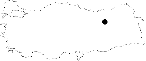 |
For photographs please click on the photo...  |
|
Type:
|
Rock-cut Tomb |
|
Altitude:
|
m |
|
Region:
|
Eastern Anatolia |
|
Province:
|
Erzincan |
|
District:
|
Çayirli |
|
Village:
|
Çadirkaya |
|
Investigation Method:
|
Survey |
|
Period:
|
Middle Iron Age |
|
|
|
 |
|
| They rest on the rocks above the Çadirkaya (Pekeriç) Subdistrict of the Çayirli District, 104 km far from Erzincan. The rock graves of Çadirkaya represent a significant Urartian center with fortification foundations carved into the bedrock, rock signs, and rock tunnels with steps. |
| Location: |
| Geography and Environment: |
| History: |
| Research and Excavation: |
| Stratigraphy: |
| Small Finds: |
| Remains: |
| Interpretation and Dating: |