|
©The Archaeological Settlements of Turkey - TAY Project
|
|
|
|
|
|
Aygir Gölü Sulama Tesisi |
|
|
For site maps and drawings please click on the picture... 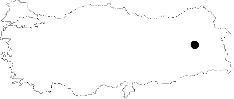 |
For photographs please click on the photo...  |
|
Type:
|
Water Construction |
|
Altitude:
|
1950 m |
|
Region:
|
Eastern Anatolia |
|
Province:
|
Bitlis |
|
District:
|
Adilcevaz |
|
Village:
|
Aygirgölü |
|
Investigation Method:
|
Survey |
|
Period:
|
Middle Iron Age |
|
|
|
 |
|
| It lies on the southern skirt of the 4050 m high Mount Süphan, northwest of the Lake Van near the Adilcevaz District of Bitlis. Located 8-9 km east of the Adilcevaz Kef Fortress, Lake Aygir is a typical volcanic lake. It is 1942 m high above the sea level with a diameter around 1 km. It is a combinaton of the waters originating from numerous sources around the Lake Aygir, and snow and rain waters flowing down the high hills. Studies conducted by the Regional Directorate for Earth-Soil in Van verified that the waters of Lake Aygir was used to irrigate the agricultural areas during the Urartu Kingdom. During these studies, some water pipes (tiles) laid during the period of the Urartu Kingdom. Lake Aygir is very significant as it shows the water conveyance system by pipelines in the Eastern Anatolia Region. |
| Location: |
| Geography and Environment: |
| History: |
| Research and Excavation: |
| Stratigraphy: |
| Small Finds: |
| Remains: |
| Interpretation and Dating: |