|
©The Archaeological Settlements of Turkey - TAY Project
|
|
|
|
|
|
Arpayatagi Göleti |
|
|
For site maps and drawings please click on the picture... 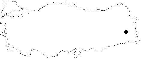 |
For photographs please click on the photo...  |
|
Type:
|
Water Construction |
|
Altitude:
|
m |
|
Region:
|
Eastern Anatolia |
|
Province:
|
Van |
|
District:
|
Gürpinar |
|
Village:
|
Topyildiz |
|
Investigation Method:
|
Survey |
|
Period:
|
Middle Iron Age |
|
|
|
 |
|
| It is located on the Van-Topçudegirmeni-Topyildiz, approximately 97 km south of Van. It is locally called the Milla reservoir. Alike of Arpayatagi reservoir with a similar size is the Patnos-Anzavurtepe to the north. The water in the reservoir was accumulated by conveying the spring waters through a channel from southeast. As the channel didn't function for a long while, it has been silted up as a result of soil erosion. The open northern section of the reservoir was enclosed by a flat half moon shaped wall. The wall is ca. 89 m long and 3.5-4 m wide. The water requirements of the land surrounding the settlement of Pirhilan were met by the water of the Arpayatagi reservoir. It appears that the Arpayatagi reservoir was constructed along with the upland settlement of Pirhilan during the 8th century BC. |
| Location: |
| Geography and Environment: |
| History: |
| Research and Excavation: |
| Stratigraphy: |
| Small Finds: |
| Remains: |
| Interpretation and Dating: |