|
©The Archaeological Settlements of Turkey - TAY Project
|
|
|
|
|
|
Gediksaray |
|
|
For site maps and drawings please click on the picture...  |
For photographs please click on the photo... 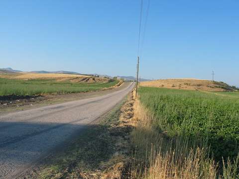 |
|
Type:
|
Mound |
|
Altitude:
|
590 m |
|
Region:
|
Black Sea |
|
Province:
|
Amasya |
|
District:
|
Göynücek |
|
Village:
|
Gediksaray |
|
Investigation Method:
|
Survey |
|
Period:
|
|
|
|
|
 |
|
| It lies 1 km north of Gediksaray Village; southwest of Amasya Province. It was splitted into two by a road. It was discovered during a survey conducted by S. Dönmez in 1998. It measures ca. 15 m in height and 350x150 m in dimensions. Materials of the EB; MB and LB Ages as well as the Iron Age and the Hellenistic Period were collected from the surface. It takes place in the registered archaeological sites list prepared by Ministry of Culture and Tourism. |
| Location: |
| Geography and Environment: |
| History: |
| Research and Excavation: |
| Stratigraphy: |
| Small Finds: |
| Remains: |
| Interpretation and Dating: |