|
©The Archaeological Settlements of Turkey - TAY Project
|
|
|
|
|
|
Geçemey Höyük |
|
|
For site maps and drawings please click on the picture...  |
For photographs please click on the photo... 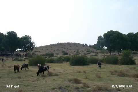 |
|
Type:
|
Mound |
|
Altitude:
|
70 m |
|
Region:
|
Mediterranean |
|
Province:
|
Osmaniye |
|
District:
|
Toprakkale |
|
Village:
|
Çatakli |
|
Investigation Method:
|
Survey |
|
Period:
|
|
|
|
|
 |
|
| It lies 6-7 km north of the Ceyhan-Toprakkale railway; west of Tatarli Village; 27 km east-northeast of Ceyhan District; east of Adana Province. It is a small; low and oval mound. During the Cilicia survey conducted in 1951; sherds dating from the EBA; the second millennium BC; the Hellenistic and Islamic Periods were collected from the surface. |
| Location: |
| Geography and Environment: |
| History: |
| Research and Excavation: |
| Stratigraphy: |
| Small Finds: |
| Remains: |
| Interpretation and Dating: |