|
©The Archaeological Settlements of Turkey - TAY Project
|
|
|
|
|
|
Gecek |
|
|
For site maps and drawings please click on the picture...  |
For photographs please click on the photo... 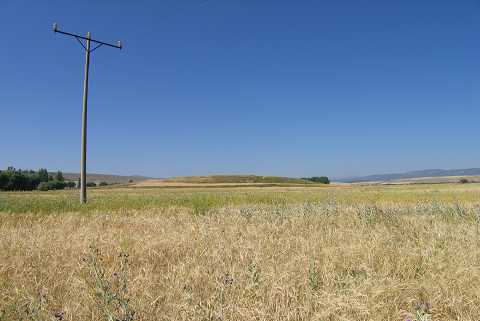 |
|
Type:
|
Mound |
|
Altitude:
|
1000 m |
|
Region:
|
Aegean |
|
Province:
|
Kütahya |
|
District:
|
Altintas |
|
Village:
|
Gecek |
|
Investigation Method:
|
Survey |
|
Period:
|
EBA III EBA II |
|
|
|
 |
|
| It lies 700 m north of Gecek Village; northwest of Altintas District; south of Kütahya Province. To the south of it is the village's cemetery. It was discovered during D.H. French's survey in 1961. The settlement is also known as Geçek Bogazi. It was reinvestigated during the survey conducted by T. Efe in 1991. It is the second biggest mound of the Altintas Plain. It measures 14 m in height and 230 m in diameter. The eastern part of the mound has been severely damaged. Materials of the EBA III; the second and first millennia BC were collected from the surface. It takes place in the registered archaeological sites list prepared by Ministry of Culture and Tourism. |
| Location: |
| Geography and Environment: |
| History: |
| Research and Excavation: |
| Stratigraphy: |
| Small Finds: |
| Remains: |
| Interpretation and Dating: |