|
©The Archaeological Settlements of Turkey - TAY Project
|
|
|
|
|
|
Gaybeyan / Hirtadom |
|
|
For site maps and drawings please click on the picture...  |
For photographs please click on the photo... 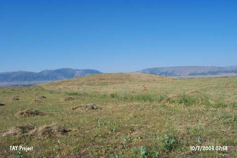 |
|
Type:
|
Mound |
|
Altitude:
|
1360 m |
|
Region:
|
Eastern Anatolia |
|
Province:
|
Mus |
|
District:
|
Merkez |
|
Village:
|
Yoncaliöz |
|
Investigation Method:
|
Survey |
|
Period:
|
|
|
|
|
 |
|
| It lies 1 km east of Yoncaliöz (Gaybiyan) Village on the northern bank of the Murat Suyu; south-southeast of Yaygin Town; northwest of Mus Province. 3 km east-southeast Körpeagaç (Dom) Village exists and north of the mound Mus-Elazig road; south of it a watering channel passes. It is a round mound. It measures 8 m in height and 100 m in diameter. It was discovered during a survey conducted by C.A. Burney. Sherds of black burnished Karaz ware and red-brown EBA ware were recovered. Rothman; for some reason; calls it Hirtadom. In addition to the sherds dating from the EBA; two sherds of groove decorated burnished ware with a black and gray interior surface were recovered [Rothman-Kozbe 1997:fig.5/d; e]. |
| Location: |
| Geography and Environment: |
| History: |
| Research and Excavation: |
| Stratigraphy: |
| Small Finds: |
| Remains: |
| Interpretation and Dating: |