|
©The Archaeological Settlements of Turkey - TAY Project
|
|
|
|
|
|
Toptepe |
|
|
For site maps and drawings please click on the picture... 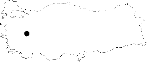 |
For photographs please click on the photo...  |
|
Type:
|
Tumulus |
|
Altitude:
|
m |
|
Region:
|
Aegean |
|
Province:
|
Usak |
|
District:
|
Merkez |
|
Village:
|
Güre |
|
Investigation Method:
|
Excavation |
|
Period:
|
Archaic |
|
|
|
 |
|
| Location: It is situated in the plain irrigated by the Gediz River to the north of the Güre Village on the Usak-Izmir motorway, 25 km west of the provincial center of Usak. |
| Geography and Environment: Toptepe (Haylaz Tepe) Tumulus was robbed by illicit diggings in 1965. The data on the finds are based on the testimonies of the smugglers. |
| History: |
| Research and Excavation: |
| Stratigraphy: |
| Small Finds: Architecture: A grave room and a kline on which the burial was laid down were found. Metal: They include a silver oinochoe with a handle in the form of kouros, a ladle with sphinxes and a golden head grip, a gold rattle which makes a noise when shaken, a small golden earring, a gold hippocampus brooch, acorn-shaped pendants along one heavy golden necklace, and a golden necklace made of pendant chains that terminate in small glass beads in various colors. Stone: Presence of many marble alabasters broken by a beam which fell from the ceiling was reported. A geometric necklace made of onyx and stones was found. Glass: A pair of bracelets made of blue glass with ends in the applique form of lionheads was found. |
| Remains: |
| Interpretation and Dating: The finds of Toptepe Tumulus which was illicitly dug by smugglers, and sold to historical artifact collectors were dated to the 6th century BC, similarly with other tumuli of Lydian and Greco-Persian culture in the region. |