|
©The Archaeological Settlements of Turkey - TAY Project
|
|
|
|
|
|
Akpinar |
|
|
For site maps and drawings please click on the picture...  |
For photographs please click on the photo... 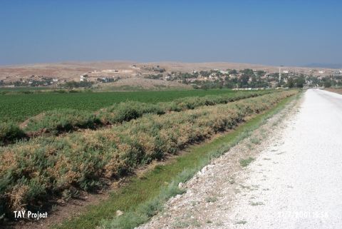 |
|
Type:
|
Mound |
|
Altitude:
|
170 m |
|
Region:
|
Mediterranean |
|
Province:
|
Hatay |
|
District:
|
Kumlu |
|
Village:
|
Akpinar |
|
Investigation Method:
|
Survey |
|
Period:
|
|
|
|
|
 |
|
| The mound lies in Akpinar Village; northeast of Kumlu District of Hatay Province. The site was discovered by R.J. Braidwood; who reports that it is also known by the name of Tell Baida. The large mound is sloped except for the southeastern section. A fresh water spring is located southeast of the mound surrounded by fertile fields. The Chalcolithic potsherds are found over a large area. The EBA; LBA; IA; and HellenisticĞRoman sherds are also recovered. |
| Location: |
| Geography and Environment: |
| History: |
| Research and Excavation: |
| Stratigraphy: |
| Small Finds: |
| Remains: |
| Interpretation and Dating: |