|
©The Archaeological Settlements of Turkey - TAY Project
|
|
|
|
|
|
Gavurkuyusu |
|
|
For site maps and drawings please click on the picture...  |
For photographs please click on the photo... 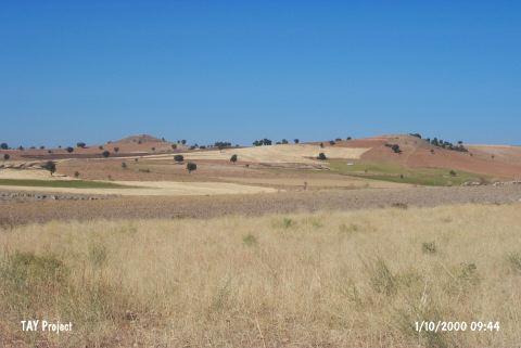 |
|
Type:
|
Cemetery |
|
Altitude:
|
810 m |
|
Region:
|
Aegean |
|
Province:
|
Usak |
|
District:
|
Sivasli |
|
Village:
|
Yayalar |
|
Investigation Method:
|
Survey |
|
Period:
|
|
|
|
|
 |
|
| The cemetery disturbed by the villagers lies south of the village of Yayalar; 9 km southwest of Sivasli District between Usak and Çivril; southeast of Usak Province. It is locally known as Gavurkuyusu. N. Firatli reported the presence of large amount of pithos graves. Although no information was provided about the finds; it was identified as an EBA cemetery [Mellink 1970:163]. It was discovered during the Selçikler (ancient city of Sebeste) excavations conducted by N. Firatli and U. Esin in 1969 while having regional surveys in the territory. It is suggested that it is contemporary with the Yortan Culture. It was visited during the survey conducted by Ö. Koçak in 2013. Koçak stated that this settlement is a mound. The southwest-northeast section of the mound is 320 m in length and the northwest-southeast section measures 210 m long. The height is about 10 m. EBA and Roman finds were recovered from the mound. In addition, a bull figurine was found [Koçak 2015:358]. |
| Location: |
| Geography and Environment: |
| History: |
| Research and Excavation: |
| Stratigraphy: |
| Small Finds: |
| Remains: |
| Interpretation and Dating: |