|
©The Archaeological Settlements of Turkey - TAY Project
|
|
|
|
|
|
Sorik |
|
|
For site maps and drawings please click on the picture... 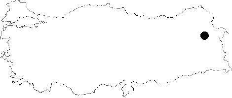 |
For photographs please click on the photo...  |
|
Type:
|
Cemetery |
|
Altitude:
|
m |
|
Region:
|
Eastern Anatolia |
|
Province:
|
Agri |
|
District:
|
Dogubayazit |
|
Village:
|
Sagliksuyu |
|
Investigation Method:
|
Survey |
|
Period:
|
Early Iron Age |
|
|
|
 |
|
| It is situated on the northern and northwestern skirts of the Sorik Fortress, 400-500 m southwest of the Sagliksuyu Village as the crow flies, 11 km northeast of the Dogubeyazit District in Agri. To the northeast is a cemetery area. Out of mainly rectangular, but sometimes square large size buildings, only a single course of stones at the foundation level survived to the present day. Although rare, mudbrick material was also used. The boundaries between the cemetery to the northeast of the settlement and the center of the settlement are unclear. The graves were composed by erecting stone walls into the pits in the ground. The corners of the grave chambers were rounded, and they are in rectangular plan. The side walls were built in corbelling technique. Sherds and iron jewelery fragments, presumably burial gifts, were found in the environs of the grave chambers. The sherds collected from the necropolis area bear Early Iron Age characteristics. |
| Location: |
| Geography and Environment: |
| History: |
| Research and Excavation: |
| Stratigraphy: |
| Small Finds: |
| Remains: |
| Interpretation and Dating: |