|
©The Archaeological Settlements of Turkey - TAY Project
|
|
|
|
|
|
Sehit Tepe |
|
|
For site maps and drawings please click on the picture... 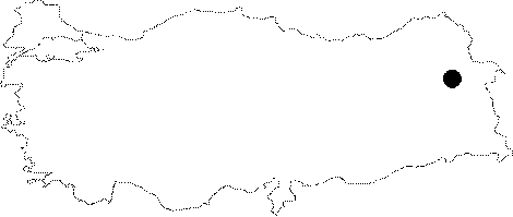 |
For photographs please click on the photo...  |
|
Type:
|
Cemetery |
|
Altitude:
|
m |
|
Region:
|
Eastern Anatolia |
|
Province:
|
Agri |
|
District:
|
Diyadin |
|
Village:
|
Atadami |
|
Investigation Method:
|
Survey |
|
Period:
|
Early Iron Age |
|
|
|
 |
|
| It is situated on the northern extension of Tendürek also called Sehit Tepe, 24 km north of the Atadam Village in the Diyadin District of Agri. Besides presence of a necropolis area, it is a typical upland settlement. It is covered with rich meadow and mountain pasture. The altitude of Sehit Tepe on which the necropolis lies is 2170 m. The lidstones surfaced due to erosion of the soil above the graves. The largest grave which designated the name of the location as Sehit Tepe has been destroyed. It is located on a somewhat high rocky hill. Although the grave chamber has been heavily destroyed, it is clear that it is north-south oriented with a rectangular plan. A small heap of stones was formed on the grave as a result of piling up. Another grave with distinct features was found near the Sehit Tepe 1 burial. A roughly oval portal dolmen was formed by irregularly placed stones, extending in east-west direction. It is likely that there exists a grave chamber surrounded by a series of portal dolmen, measuring 7.20x3.10 m in dimensions. |
| Location: |
| Geography and Environment: |
| History: |
| Research and Excavation: |
| Stratigraphy: |
| Small Finds: |
| Remains: |
| Interpretation and Dating: |