|
©The Archaeological Settlements of Turkey - TAY Project
|
|
|
|
|
|
Sünnetnebi Baraji |
|
|
For site maps and drawings please click on the picture... 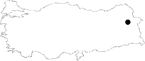 |
For photographs please click on the photo...  |
|
Type:
|
Water Construction |
|
Altitude:
|
m |
|
Region:
|
Eastern Anatolia |
|
Province:
|
Agri |
|
District:
|
Diyadin |
|
Village:
|
|
|
Investigation Method:
|
Survey |
|
Period:
|
Middle Iron Age |
|
|
|
 |
|
| It is situated out of the reach of the main roads on the northern skirts of the Tendürek and Aladag Mountains, 4.5 km southwest of the Resan Dam and Sünnetnebi Dam, 14 km south of the Diyadin District in Agri. It has an altitude of 2295 m, located in bowl-like depression area at the peak of the mountains. The reservoir is supplied by snowfall, rainfall and spring waters. Although it is not so large, it is deep. The interior and exterior walls of the dam were roughly built with basalt stones, filling the space between the two walls by a stone block. The dam reservoir is being used for irrigation and fish farming. Since the design and construction technique of the dam is similar to other Urartian dams, it should have been constructed during the 7th century BC. |
| Location: |
| Geography and Environment: |
| History: |
| Research and Excavation: |
| Stratigraphy: |
| Small Finds: |
| Remains: |
| Interpretation and Dating: |