|
©The Archaeological Settlements of Turkey - TAY Project
|
|
|
|
|
|
Garkin / Kargin |
|
|
For site maps and drawings please click on the picture...  |
For photographs please click on the photo... 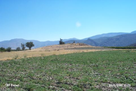 |
|
Type:
|
Mound |
|
Altitude:
|
800 m |
|
Region:
|
Mediterranean |
|
Province:
|
Antalya |
|
District:
|
Korkuteli |
|
Village:
|
Kargin |
|
Investigation Method:
|
Survey |
|
Period:
|
EBA II |
|
|
|
 |
|
| It lies on the eastern bank of a stream in the vicinity of Kargin Village; middle of the Bozova Plain; northeast of Korkuteli; northwest of Antalya Province. It was discovered by J. Mellaart. It is an EBA II settlement in accordance with the finds recovered. It takes place in the registered archaeological sites list prepared by Ministry of Culture and Tourism. |
| Location: |
| Geography and Environment: |
| History: |
| Research and Excavation: |
| Stratigraphy: |
| Small Finds: |
| Remains: |
| Interpretation and Dating: |