|
©The Archaeological Settlements of Turkey - TAY Project
|
|
|
|
|
|
Resan Baraji |
|
|
For site maps and drawings please click on the picture... 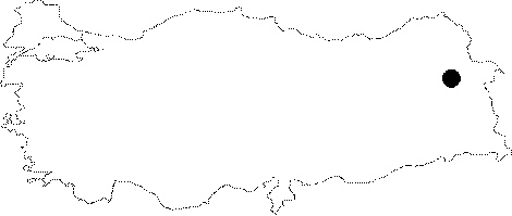 |
For photographs please click on the photo...  |
|
Type:
|
Water Construction |
|
Altitude:
|
m |
|
Region:
|
Eastern Anatolia |
|
Province:
|
Agri |
|
District:
|
Diyadin |
|
Village:
|
Haci Halit |
|
Investigation Method:
|
Survey |
|
Period:
|
Middle Iron Age |
|
|
|
 |
|
| It is situated 1.5 km west of the Haci Halit Village, 58 km southwest of the Dogubeyazit District, 12 km southeast of the Diyadin District in Agri. It is 2245 m high above the dam level between the skirts of the Aladag and Tendürek mountains. It rests on a depression on the summit of mountains just like the other Urartian dams. The lake is supplied by the rain and snowfall and springs. The length of the dam walls with a roughly a crescent moon shape is over 102 m. The dam has been severely affected from the erosion, and both interior and exterior walls have been covered with earth conveyed by the waters. The walls were built of large basalt stones. Rather than irrigation, the dam was used for the growth of the weed in the meadow. It is similar to other Urartian dams in design and construction technique. Thus, it can be concluded that the dam was built in the 7th century BC. |
| Location: |
| Geography and Environment: |
| History: |
| Research and Excavation: |
| Stratigraphy: |
| Small Finds: |
| Remains: |
| Interpretation and Dating: |