|
©The Archaeological Settlements of Turkey - TAY Project
|
|
|
|
|
|
Garipçe |
|
|
For site maps and drawings please click on the picture...  |
For photographs please click on the photo... 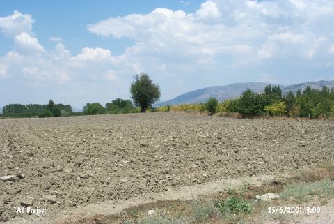 |
|
Type:
|
Mound |
|
Altitude:
|
800 m |
|
Region:
|
Mediterranean |
|
Province:
|
Antalya |
|
District:
|
Korkuteli |
|
Village:
|
Garipçe |
|
Investigation Method:
|
Survey |
|
Period:
|
EBA II |
|
|
|
 |
|
| It lies on the bank of a stream; west of the Korkuteli-Burdur highway and Garipçe Village; northeast of Korkuteli; northwest of Antalya Province. The plain gets narrower at the site where the mound is located. It was discovered by J. Mellaart. It is an EBA II settlement. |
| Location: |
| Geography and Environment: |
| History: |
| Research and Excavation: |
| Stratigraphy: |
| Small Finds: |
| Remains: |
| Interpretation and Dating: |