|
©The Archaeological Settlements of Turkey - TAY Project
|
|
|
|
|
|
Gaferiyat |
|
|
For site maps and drawings please click on the picture...  |
For photographs please click on the photo... 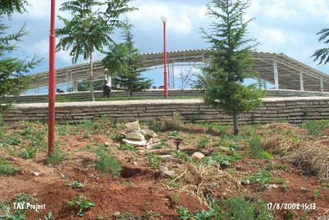 |
|
Type:
|
Mound |
|
Altitude:
|
1140 m |
|
Region:
|
Central Anatolia |
|
Province:
|
Karaman |
|
District:
|
Kazimkarabekir |
|
Village:
|
Merkez |
|
Investigation Method:
|
Survey |
|
Period:
|
|
|
|
|
 |
|
| It lies in Kazimkarabekir (Gaferiyat) District; northwest of Karaman Province. A wedding hall has been built on top hill. The site was discovered by J. Mellaart and dated to EBA. The mound was revisited by H. Bahar during the survey in 2003 and named as Hisar Höyük. |
| Location: |
| Geography and Environment: |
| History: |
| Research and Excavation: |
| Stratigraphy: |
| Small Finds: |
| Remains: |
| Interpretation and Dating: |