|
©The Archaeological Settlements of Turkey - TAY Project
|
|
|
|
|
|
Furuncu |
|
|
For site maps and drawings please click on the picture...  |
For photographs please click on the photo... 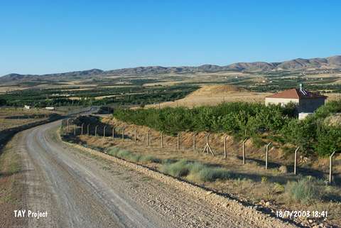 |
|
Type:
|
Mound |
|
Altitude:
|
915 m |
|
Region:
|
Eastern Anatolia |
|
Province:
|
Malatya |
|
District:
|
Merkez |
|
Village:
|
Furuncu |
|
Investigation Method:
|
Survey |
|
Period:
|
|
|
|
|
 |
|
| It lies 1 km north-northeast of Furuncu Village; 15 km east of Malatya Province. Northeast skirt of the hill has been truncated during the highway construction running from Malatya to Elazig. It is an oval mound. It measures 15 m in height and 200x100 m in dimensions. It has been reported that through the sections caused by the road; traces of the walls can be seen. It was discovered by C.A. Burney. Variations of black burnished Karaz ware; brown burnished ware and painting decorated ware dating from the EBA besides the material of the Late Chalcolithic Age were recovered from the surface. It is suggested to be a significant EBA settlement as it is taken into consideration that caravan and trade roads followed the same route throughout the ages. It takes place in the registered archaeological sites list prepared by Ministry of Culture and Tourism. |
| Location: |
| Geography and Environment: |
| History: |
| Research and Excavation: |
| Stratigraphy: |
| Small Finds: |
| Remains: |
| Interpretation and Dating: |