|
©The Archaeological Settlements of Turkey - TAY Project
|
|
|
|
|
 |
Çatalca Sur Kalintisi |
|
|
|
|
For site maps and drawings please click on the picture...  |
For photographs please click on the photo... 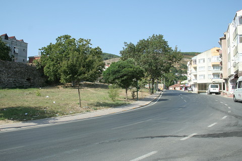 |
|
|
|
|
Type:
|
Fortification |
|
Plan Type:
|
|
|
Year of Costruction:
|
|
|
Phase:
|
|
|
Investigation Method:
|
|
|
Altitude:
|
83 |
|
|
|
|
Region:
|
Marmara |
|
Province:
|
Istanbul |
|
District:
|
Çatalca |
|
Village:
|
Kaleiçi Mah. |
|
Antique Name:
|
|
|
|
|
  |
|
| There are wall remains which are believed to be the north walls of the fortress south of Karadeniz Avenue in central Çatalca. Karadeniz Avenue cuts through the walls by making a curve in east direction. The east walls which lie alongside the north walls extend in parallel to Karadeniz Avenue. These were built using small cut stones. The east wall is approximately 5-6 m in height, 73 m in length and it was interrupted by the tall residential buildings built on top of it. The rest of the wall remains are demolished and disappeared on the east side starting at the point where some of these apartment buildings interrupted the walls. There is a tower on the 63rd meter of the east wall. A tree grew on the tower. The east of the north wall had collapsed towards inside at its intersection with the east wall which extends towards the road. The wall was interrupted by a narrow stairway 61 m from the point where the 73 m long north wall meets the east wall. At 63 m distance there is another tower. There is a brick niche west of this tower. Kaledisi Street interrupted the north wall in west direction. The last house on this wall uses the wall as its rear wall and even a window opening was made on the wall. And the window was plastered with concrete. The houses leaned against the wall after the tower in the north direction. A couple of the last houses were built completely on the wall. A 1.5 m high wall surrounding the house was built at the intersection of the walls east and north. Based on the testimonies north of the north wall is going to be made a public park. Bricks were laid inside the north, east and west arches inside the tower in the north wall. The south arch is open. Based on the remains it is observed that a house was connected to that wall and then it was demolished. The wall was destructed during the demolishment of the house. The pendentives in the corners suggest this was covered by a dome or domed vault[TAYEx 18.08.2008]. |
| Location: |
| Geography and Environment: |
| Research and Excavation: |
| Description: |
| Finds: |
| Interpretation: |
| Destruction: The walls are covered with a dense layer of vegetation and surrounded by houses. They are heavily damaged. The fortress was heavily destructed due to the housing development in the environs [TAYEx 18.08.2008]. |

