|
|
||||
|
|
||||
|
Çarkini |
||||
|
For cave maps and drawings please click on the picture... |
For photographs please click on the photo... |
|||
|
 |
|||
|
Type: |
Cave | |||
|
Altitude: |
300 m | |||
|
Depth: |
m | |||
|
Length: |
40 m | |||
|
Region: |
Mediterranean | |||
|
Province: |
Antalya | |||
|
District: |
Merkez | |||
|
Village: |
Yagca | |||
|
|
||||
 |
||||

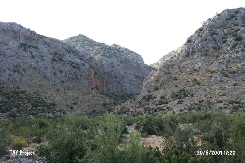
| It lies 1 km Northwest of the Somakli Quarter of the Yagca Village to the Northwest of Antalya. It is a natural cave opened into the grey coloured Cretaceous limestones of the Katran Mountain. It was studied archaeologically by K. Kökten in 1957. It was announced as a First Degree Archaeological-Natural Preservation Site in 1990. |
| Location: This cave-site lies southwest of the city of Antalya; 1 km northwest of the Somakli neighborhood of the village of Yagca; 1 km west of the neighborhood of Kocaköy and 2 km south-southwest of the Karain Cave. The location area of the cave is called Öküzkakligi Mevkii. |
| Structural Properties and formation : |
| Research History: |
| Findings: |