|
|
||||
|
|
||||
|
Birkleyn |
||||
|
For cave maps and drawings please click on the picture... |
For photographs please click on the photo... |
|||
|
 |
|||
|
Type: |
Cave | |||
|
Altitude: |
m | |||
|
Depth: |
m | |||
|
Length: |
566 m | |||
|
Region: |
Eastern Anatolia | |||
|
Province: |
Diyarbakir | |||
|
District: |
Lice | |||
|
Village: |
Örtülü | |||
|
|
||||
 |
||||
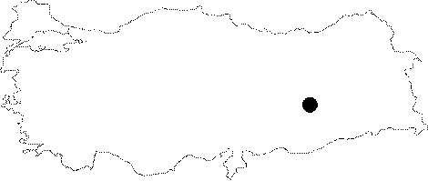
| Location: It is located at the cross of the Birkilin Brook and the Diyarbakir-Bingöl motorway; to the west of Lice. |
| Structural Properties and formation : The mountain blocked the Birklin Brook by a depression during the quaternary epoch while the brook opened its way through the limestones on the left bank by abrasion; and thus resulted in the present cave. There are two fossil caves above this active traverse cave. The other one; which lies to the east of the cave with inscription and which is 400 m long; is adorned with very rich decorations. |
| Research History: The first exploration was carried out by Tchihatcheff in the 19th century. It was explored and mapped by A.C. Waltham and his team from USA in 1978. It was also explored and mapped by E. Gilli under the Eynif '99 survey. The inscription in the mouth of the cave is dated back to 1100 B.C. and the research related with Assyrian Period is still continued by Andreas Schachner in the region. |
| Findings: A few bats (Myotis myotis; Eptesicus serotinus) were seen [Benda-Horacek 1998:269; 284]. |