|
|
||||
|
|
||||
|
Sakçagözü Magarasi |
||||
|
For cave maps and drawings please click on the picture... |
For photographs please click on the photo... |
|||
|
 |
|||
|
Type: |
Cave | |||
|
Altitude: |
750 m | |||
|
Depth: |
m | |||
|
Length: |
m | |||
|
Region: |
Mediterranean | |||
|
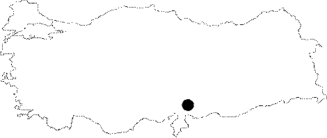
Province: |
Gaziantep | |||
|
District: |
Nurdagi | |||
|
Village: |
Sakçagözü | |||
|
|
||||
 |
||||
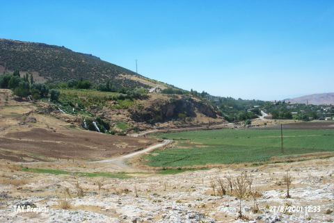
| Location: This cave-site lies west-northwest of the city of Gaziantep; 250 m east of the village of Sakçagöz (old Keferdiz). Sakçagözü Magarasi is one of the caves along the road that goes from this village to the graveyard. Today the site is in an area where there has recently been much modern development. |
| Structural Properties and formation : |
| Research History: Three trenches were opened inside the cave in 1949 by the team under S. Gögüs and V. Seton-Williams; one being on the skirts of the cave while the other two in the mid of the cave elongating toward the village. |
| Findings: The same layers were found at three trenches. The bedrock was reached 150 m below the present floor. It can be claimed that the layering was not that accurate when the archaeological excavation system of that time are taken into consideration. The soil color is light brown at the top and bottom of the cave deposit. Based on the potsherds; presence of two layers was reported: Chalcolithic Age and 2.000 BC. |