|
|
||||
|
|
||||
|
SAK 19 Emirler |
||||
|
For cave maps and drawings please click on the picture... |
For photographs please click on the photo... |
|||
|
 |
|||
|
Type: |
Cave | |||
|
Altitude: |
780 m | |||
|
Depth: |
m | |||
|
Length: |
m | |||
|
Region: |
Mediterranean | |||
|
Province: |
Gaziantep | |||
|
District: |
Nurdagi | |||
|
Village: |
Emirler | |||
|
|
||||
 |
||||

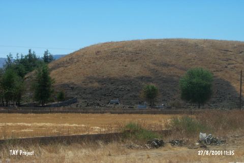
| t is located on the rocks near the Emirler Village to the northeast of Sakcagözü; northwest of Gaziantep. It was explored during the Survey of Sakcagözü area led by A. Garrard in 1995. Finds from the Obeid Period; the Last Calcolithic Age (?); LBA (?); IA (?); Rome-Byzantine and Ottoman Periods were uncovered. |
| Location: |
| Structural Properties and formation : |
| Research History: |
| Findings: |