|
|
||||
|
|
||||
|
Gökdeli |
||||
|
For cave maps and drawings please click on the picture... |
For photographs please click on the photo... |
|||
|
 |
|||
|
Type: |
Horizontal Cave | |||
|
Altitude: |
780 m | |||
|
Depth: |
-61 m | |||
|
Length: |
195 m | |||
|
Region: |
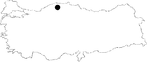
Black Sea | |||
|
Province: |
Kastamonu | |||
|
District: |
Pinarbasi | |||
|
Village: |
Güvercinlik | |||
|
|
||||
 |
||||
| It is located in Guvercinlik Village in Pinarbasi in the province of Kastamonu. There are many caves exist in huge limestone of melanges dispersed in environs. Gökdeli cave also the one in limestone of melanges with the lenght of 195 m lies in between limestone and impervious layers as an active cave. At the end of the cave there is a siphon. Cave with 3 m entrance in diameter opens narrowly into a gallery. The left side of gallery is covered with a puddle. The right side continuing like a passsage surrounded by puddles is passed by slipping down over pebble. After 4 m of descent there is a muddy path ending narrowly due to a declining of ceiling. Finding a bronze javelin in it, an english team (FACC) called the cave as Mizrak Cave and mapped it in 1992. Team estimated cave to be under the level of water have not discussed any findings. |
| Location: |
| Structural Properties and formation : |
| Research History: |
| Findings: |