|
|
||||
|
|
||||
|
Kozarka |
||||
|
For cave maps and drawings please click on the picture... |
For photographs please click on the photo... |
|||
|
 |
|||
|
Type: |
Cave | |||
|
Altitude: |
m | |||
|
Depth: |
-21 m | |||
|
Length: |
84 m | |||
|
Region: |
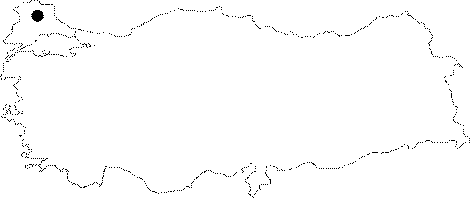
Marmara | |||
|
Province: |
Kirklareli | |||
|
District: |
Merkez | |||
|
Village: |
Çukurpinar | |||
|
|
||||
 |
||||
| Kozarka Cave is located near the road between Çukurpınar and Armağan Villages. The cave is formed between the contact zone of Paleozoic granites and Mesozoic marbles in the north-eastern edge of Strandja Massif. Different types of rocks, such as calcareous and gypsum, can be found in this cave. The total length of the cave is 84 m. No archaeological relics have been found on the cave floor of Kozarka Cave. |
| Location: |
| Structural Properties and formation : |
| Research History: |
| Findings: |