|
|
||||
|
|
||||
|
Yarasa Ini |
||||
|
For cave maps and drawings please click on the picture... |
For photographs please click on the photo... |
|||
|
 |
|||
|
Type: |
Cave | |||
|
Altitude: |
m | |||
|
Depth: |
14 m | |||
|
Length: |
559 m | |||
|
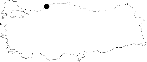
Region: |
Black Sea | |||
|
Province: |
Karabük | |||
|
District: |
Safranbolu | |||
|
Village: |
Konari | |||
|
|
||||
 |
||||
| It is partially a fossil cave located on the west wall of the Duzce Canyon; in the north of Konari Village in Safranbolu in the province of Karabuk. Cave also called as "Cuzzamlilar" has 5 entrances, one of which is chimney-shaped. Even being 4 m above water level, in some months the narrow entrance on west gets water in it. While in that brach there exists an intensive mud layer, other parts are fossil. Intensive population of bats live in cave [Obruk 2010: 11-12] |
| Location: |
| Structural Properties and formation : |
| Research History: |
| Findings: |