|
|
||||
|
|
||||
|
Deliktepe |
||||
|
For cave maps and drawings please click on the picture... |
For photographs please click on the photo... |
|||
|
 |
|||
|
Type: |
Cave | |||
|
Altitude: |
m | |||
|
Depth: |
-34 m | |||
|
Length: |
55 m | |||
|
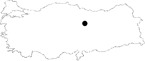
Region: |
Central Anatolia | |||
|
Province: |
Sivas | |||
|
District: |
Hafik | |||
|
Village: |
Durulmus | |||
|
|
||||
 |
||||
| It is situated on a hill near Durulmus Village. The cave mouth may even be noticed from far away. It is a man made cave with an inclination approximately of 30 degrees and contains 152 steps. It was explored and mapped by Emrah Sinmaz in 2001. |
| Location: |
| Structural Properties and formation : |
| Research History: |
| Findings: |