|
|
||||
|
|
||||
|
Buzluk Ini |
||||
|
For cave maps and drawings please click on the picture... |
For photographs please click on the photo... |
|||
|
 |
|||
|
Type: |
Cave | |||
|
Altitude: |
m | |||
|
Depth: |
m | |||
|
Length: |
130 m | |||
|
Region: |
Black Sea | |||
|
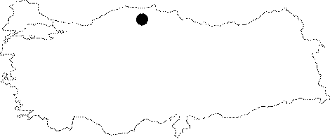
Province: |
Kastamonu | |||
|
District: |
Pinarbasi | |||
|
Village: |
Çuhadar | |||
|
|
||||
 |
||||
| The cave is located on a slope 1 km above the Çuhadar Quarter and it consists of a crack and a collapse doline which connect to each other. Although the depth is low the hall is very large and impressive. It was explored and mapped by ASPEG in August 2008. |
| Location: |
| Structural Properties and formation : |
| Research History: |
| Findings: |