|
|
||||
|
|
||||
|
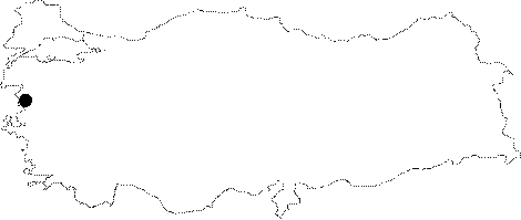
Yazören |
||||
|
For cave maps and drawings please click on the picture... |
For photographs please click on the photo... |
|||
|
 |
|||
|
Type: |
Cave | |||
|
Altitude: |
m | |||
|
Depth: |
-113 m | |||
|
Length: |
3564 m | |||
|
Region: |
Marmara | |||
|
Province: |
Balikesir | |||
|
District: |
Savastepe | |||
|
Village: |
Yazören | |||
|
|
||||
 |
||||
| Yazören Cave is an active sinkhole with a sinking creek and resurgence mouth and it is located over a small carstic plate near Balikesir. No formations were observed starting from the entrance opening and along the entire cave except the fossilized branch which is 500 m from the opening. It was found that it created siphons at 3-4 spots during seasons where intense precipitation is involved. The cave was explored by BUMAD during a period that started in August 2007 and lasted until September 2008 when measured by ASPEG. Although no living animals were encountered in the active gallery the opening and the fossil gallery contain a large amount of bats. |
| Location: |
| Structural Properties and formation : |
| Research History: |
| Findings: |