|
|
||||
|
|
||||
|
Tekir Alabalik Magarasi |
||||
|
For cave maps and drawings please click on the picture... |
For photographs please click on the photo... |
|||
|
 |
|||
|
Type: |
Cave | |||
|
Altitude: |
m | |||
|
Depth: |
20.5 m | |||
|
Length: |
146 m | |||
|
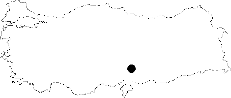
Region: |
Mediterranean | |||
|
Province: |
Kahramanmaras | |||
|
District: |
Merkez | |||
|
Village: |
Tekir | |||
|
|
||||
 |
||||
| The cave is located 5 km north of Tekir Sub-district in Tekir Trout Fish Farm. It was formed inside the Middle-Upper Miocene aged Parpyayla Formation which consists of highly permeable thick level of limestone reefs which contain plenty of cracks, and cavities due to melting. It lies in east-west direction and contains three openings that lead to one another. The first of these is located where there is active resurgenceat the lowest level. The resurging water also pours into the fish farm pond and provides one of the access points into the cave. The opening leads to a small hall with light inclination on the floor and the small hall provides access to the other opening. The relatively larger room is accessible through the active channel and through a narrow passage. The resurging water goes through very narrow cracks which are not accessible by humans into the cave where it freely flows. This section is accessible through the third opening. The third opening is on top of the cave and it is the actual, main cave entrance. When the cave is completely flooded and the lower openings are insufficent for the water discharge, this opening helps the water to be discharged. The floor is covered with dry and partially wet mud starting at the entrance. This path makes a curve upwards approximately 20 m after the entrance. The travertine ponds which have depths up to 2 m, are lined in adjacent order over this path. The cave was explored and mapped by MTA in 2008. |
| Location: |
| Structural Properties and formation : |
| Research History: |
| Findings: |