|
|
||||
|
|
||||
|
Savruk |
||||
|
For cave maps and drawings please click on the picture... |
For photographs please click on the photo... |
|||
|
 |
|||
|
Type: |
Cave | |||
|
Altitude: |
m | |||
|
Depth: |
+9.5 - 2 m | |||
|
Length: |
32 m | |||
|
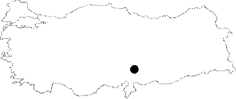
Region: |
Mediterranean | |||
|
Province: |
Kahramanmaras | |||
|
District: |
Merkez | |||
|
Village: |
Hacininoglu | |||
|
|
||||
 |
||||
| It is accessed from Ilica Road off of Kahramanmaras-Göksun main road. It is 10 km from Hacininoglu Village. It was formed as a single gallery along the crack located in northwest-southeast direction, and composed inside Jurassic Age limestones where red marn-mudstone and cobble stones lie in thin layers on the floor. A dense travertine precipitation is observed inside the cave, which is due to the large amount of rich carbonated water arriving from inside and the top of the cave. Although the cave covers a small area it contains a large amount of cave sediment. It was explored and mapped by MTA in 2008. |
| Location: |
| Structural Properties and formation : |
| Research History: |
| Findings: |